Views along the White River include the valley named after western explorer, John Wesley Powell, and the site where Nathan Meeker’s relocation of the White River Indian Agency ended in tragedy. Homesteaders in this fertile valley were farmers, businessmen, cattle ranchers and ranch hands. People looking for a new start and a place to raise their families established these schools. This tour can be 42 miles if you turn around at White River School or 65 miles if you turn around at Yellow Creek School.
Powell Park Loop:
Powell Park Rural School
South Side Rural School
Lower Powell Rural School
White River Rural School
Yellow Creek Rural School
South Side Rural School
Lower Powell Rural School
White River Rural School
Yellow Creek Rural School
Driving Instructions:
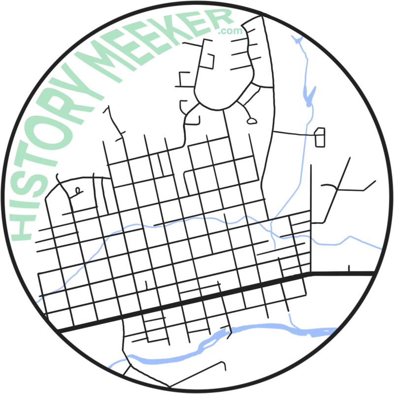
Begin at the corner of 6th Street and Market Street (State Highway 13). Driving south (toward Rifle) go 2.6 miles to the intersection of State Highway 13 and State Highway 64. Turn right on to State Highway 64 and drive 1.1 miles to a Colorado information sign on your left about the Meeker area. Continue down State Highway 64 for .9 mile to a wooden sign on your left about the Meeker Massacre site.
Powell Park School site is on your right .3 mile farther down State Highway 64 (Point A). You can pull off by the sign but be aware of traffic on the road. GPSN40°02.105 W107°59.697
Drive on State Highway 64 for 2.2 miles to Southside School site on your left (Point B). There is a pull off by the sign. Southside School sat on the hill across the river from this sign. GPS N40°02.108 W108°02.352
Drive west on State Highway 64 for 3.3 miles to Lower Powell Park School on your left (Point C).There is a pull off by the sign but be aware of traffic as it is near a sharp curve. GPS 40°00.896 W108°05.605
Continue driving west on State Highway 64 for 9.8 miles to White River School site on your left (Point D). You can pull off to the right on County Road 72(Land Fill Road). White River School sat across the river on the mesa. GPS N40°.05.793 W108° 14.245
This part of the trip is optional as Yellow Creek School is 11.6 miles down State Highway 64 on the left (Point E). The Yellow Creek School is still standing as of 2013. GPS N40°10.101 W108°24.484
There is no good place to pull off or turn around here. You need to go past the school about 1 mile. On your right is a mailbox and a good turn around point. This is the end of the Powell Park Tour. Drive east on State Highway 64 about 18 miles from the White River sign or about 30 miles from the Yellow Creek turn around point to the intersection of State Highway 64 and State Highway 13. Turn left on State Highway 13 and go 2.6 miles back to Meeker.